Waec 2009 Geography Past Questions And Answers
Which of the following environmental hazards is due primarily to human activities?
- A. earthquake
- B. volcanic eruption
- C. hurricane
- D. ozone depletion
Which activity requires the following? I. Large area of land usually in thousands of hectares II. Availability of water either in the form of rain or irrigation III. High capital outlay
- A. plantation agriculture
- B. mining
- C. lumbering
- D. tourism industry
Life expectancy refers to the
- A. age at which people receive their pension
- B. average age at which people die
- C. achievement one makes in life
- D. age at which people retire from their jobs
'It is a port that specializes in receiving and redistributing goods to the neighboring countries'. Which of the following ports is described in the preceding statement?
- A. Ferry port
- B. outport
- C. River port
- D. Enterport
Write a geographical account of rail transport under the following headings:
(a) economic importance, (b) problems; (c) solutions
The term over-population is best defined as the situation where
- A. there is high population density
- B. birth rate is equal to death rate
- C. the population exceeds available resources
- D. there is an increasing birth rate and a descreasing infant mortality rate
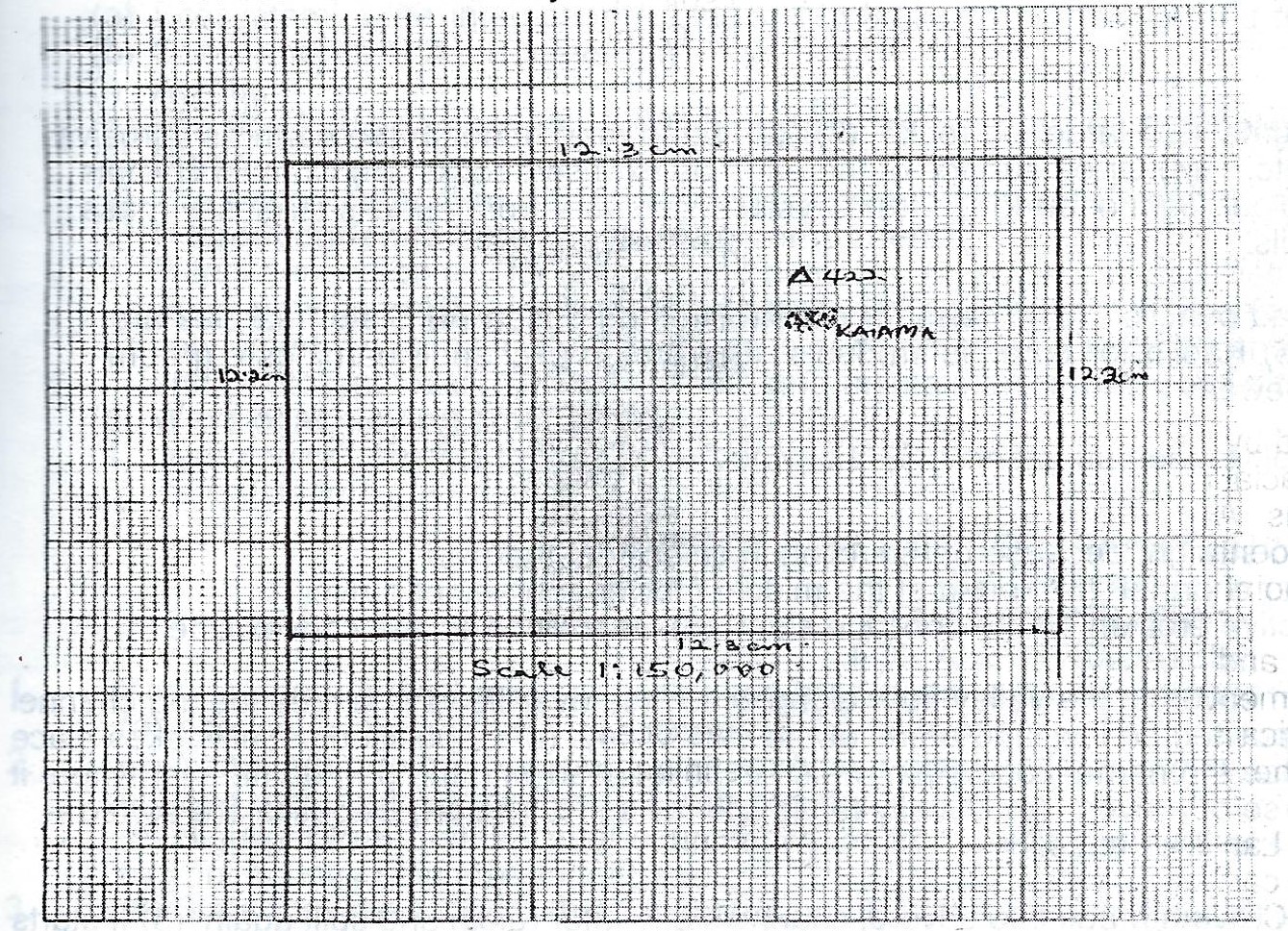
Study the map extract on a scale of 1:50,000 and answer the following questions:
(a) Draw an outline of the area to a scale of 1:150,000
(b) On your outline, mark and name:
(i) a nodal settlement;
(ii) one secondary road;
(iii) the trigonometrical station northwest of Kaiama.
(c) Calculate the full length of River Gbesha in the north eastern part of the map from point X
(d) Identify: (i) two land use types in the mapped area;
(ii) three social amenities in Kaiama.
A conurbation can best be described as
- A. a large village with thousands of people
- B. two or more towns joined together,each town maintaining its own identity
- C. a large area with big cities
- D. a big area of land with few settlements
Lines joining places with same mean annual rainfall are called
- A. isohyets
- B. isohels
- C. isohalines
- D. isotherms
The longest river in Africa is River
- A. congo
- B. zambezi
- C. senegal
- D. nile